I like to geotag my photos when I travel. I like looking at the points on a map later.
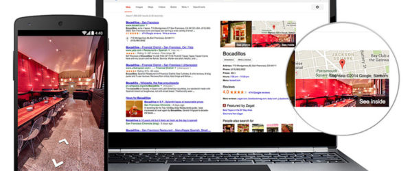
By far the cheapest way to geotag is just use your smartphone. Most phones today collect location data and can embed the info into the image file when you take it. When you upload to Google+, the location data is presented to the right of the photo.
But you probably are not planning on taking pictures of your next vacation with your smartphone. Some new point and shoot cameras such as the Pentax Optio WG-1 or the Nikon COOLPIX P6000 have gps ability and add the gps coordinates to your images as you shoot.
There are also several add-on devices for various cameras that will attach to your camera and add the gps data to each shot. These options sell for around $100 – $240. They tend to be camera specific, add more attachments to the camera, and a little pricey for a nice to have feature.
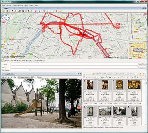
Then there are the dedicated data logging devices, which just collect data, and fit in your pocket or backpack. You use software to add the gps data to your images on your computer. I have the Gistec PhotoTracker.
Capturing the data:
There are several ways to capture or geolog your data.
A dedicated device that attaches to your camera and adds the data to your photos as they are taken. This is the easiest, but not the cheapest solution.
A gps logging device such as the Gistec.
Collect the data from your GPS.
If you have an android or iphone, you can purchase an app that will collect your tracks in a .gpx format. I use the
© TappyTaps, http://www.geotagphotos.net